![]()
![]()
![]()
![]()
![]()
![]()


MY MAPS
Regions:
![]()
Browse the website:
Latest Acquisitions
A Brief History of Cartography
The Cartographers
Events on ancient maps
Accimo editions
Brochure MB
Contacts
Glossary
Sitemap
|
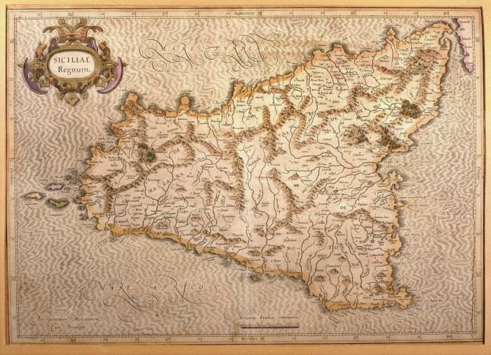
608-Siciliae Regnum Description: This map, measuring 34 x 48 cm and drawn by Gerardus Mercator, was printed in 1589 in Duisburg. It is a beautiful document of Sicily, its inhabited centres drawn with little circles and the towns with fine perspective designs. The island appears in the centre of the sea, moved by light waves. The mountains are indicated by mole-hill reliefs and the water courses are exactly described. On the top left is a decorative title picture; the graphic scale in Miliaria Italica Communia is at the bottom. Autor: Mercatore Place: Duisburg Year: 1589 Quality document:
See online :
Go to verification |

