![]()
![]()
![]()
![]()
![]()
![]()


MY MAPS
Regions:
![]()
Browse the website:
Latest Acquisitions
A Brief History of Cartography
The Cartographers
Events on ancient maps
Accimo editions
Brochure MB
Contacts
Glossary
Sitemap
|
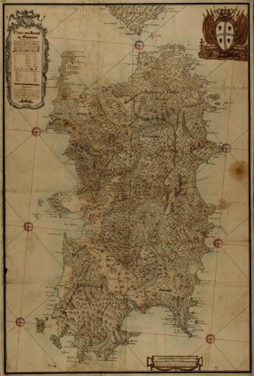
306-Contour of the Sardinia's Empire Map Description: The map was probably drawn in 1788 from Maina's original design of 1746. Painted with watercolours, it measures 48 x 31,1 cm and has three decorated pictures and seven wind roses. Autor: Craveri Place: Cagliari Year: 1788 Quality document:
See online :
Go to verification |
