![]()
![]()
![]()
![]()
![]()
![]()


MY MAPS
Regions:
![]()
Browse the website:
Latest Acquisitions
A Brief History of Cartography
The Cartographers
Events on ancient maps
Accimo editions
Brochure MB
Contacts
Glossary
Sitemap
|
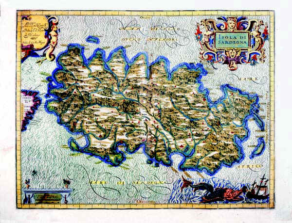
295-Island of Sardinia Description: The map belongs to the atlas Italia di Gio Ant. Magini, published by the son of the author in 1620. It contains 61 maps. The 60th represents Sardinia and was realized before 1605. It's a colored map with graduated margins but no numerical references. The longitudes as well as the latitudes are subdivided in 1'. It measures 34,3 x 44,5 cm and it is on a scale of about 1:736 000. Autor: Gio Antonio Magini Place: Bologna Year: 1605 Quality document:
See online :
Go to verification |

See the printed version: Click here
