![]()
![]()
![]()
![]()
![]()
![]()


MY MAPS
Regions:
![]()
Browse the website:
Latest Acquisitions
A Brief History of Cartography
The Cartographers
Events on ancient maps
Accimo editions
Brochure MB
Contacts
Glossary
Sitemap
|
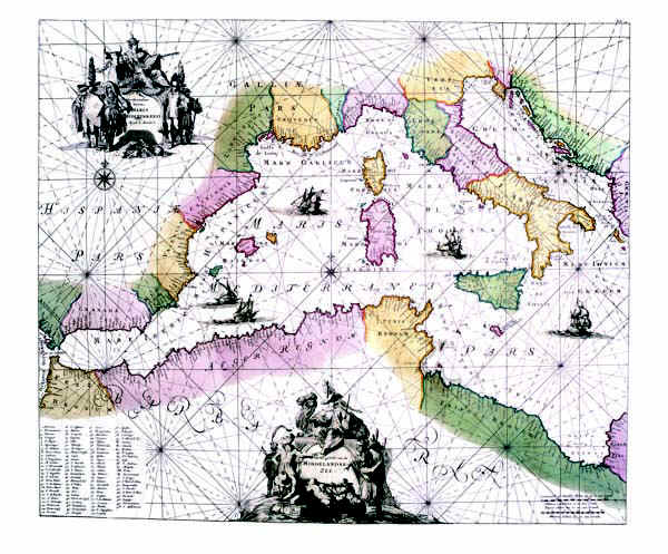
190-Maris Mediterranei Description: The card, printed in 1715, is located in the Atlas de la Navigation et du Commerce qui se fait dans toutes les Parties du Monde, printed in Amsterdam chez Louis Renard, Marchand DCCXV libraire-M. Autor: Louis Renard Place: Amsterdam Year: 1715 Quality document:
See online :
Go to verification |

See the printed version: Click here
